 Photo by Gregory Plumb, Author of
Waterfalls of Tennessee
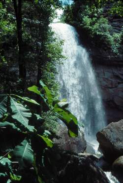
Photo by Gregory Plumb, Author of
Waterfalls of Tennessee
| WGS84 | |
| 35.547200 | -85.023960 |
| 35° 32.832'N | 85° 1.438'W |
| 35° 32' 49.9"N | 85° 1' 26.3"W |
| 16S 679120E 3935524N | |
| convert to NAD27 | |
MAPS
Select one of the following maps to display this waypoint (WGS84).
GPS
Remarks:
Photo by Gregory Plumb, Author of
Waterfalls of Tennessee
Chuck Sutherland HDR photo
See CT trail map Nearby is Snow Falls and Gooch Creek Arch