Tennessee Landforms -- arches and natural bridges| WGS84 |
| 35.527730 | -85.049250 |
| 35° 31.664'N | 85° 2.955'W |
| 35° 31' 39.8"N | 85° 2' 57.3"W |
| 16S 676870E 3933319N |
| convert to NAD27 |
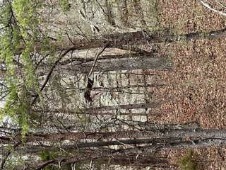
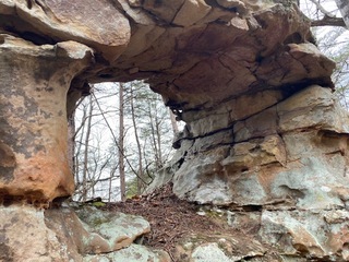
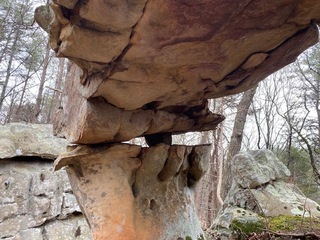
Heather's window 4x5
Waypoint: RHA005 35.527730,-85.049250
County: Rhea landforms of Rhea county
Locale: private
NABSQNO 16S-676870-3933319
popup list of
nearby landforms (mileage, bearing)
MAPS
Select one of the following maps to display this waypoint (WGS84).
GPS
Remarks:
Reference and photos: Wes Hayes
Tennessee landforms
home
arches
waterfalls
rocks
peaks
balds
sinks
lakes
regions
county
GSMNP landforms (TN/NC)
BSF landforms (TN/KY)
or nearby
lookout towers
 ©
Tom Dunigan
©
Tom Dunigan