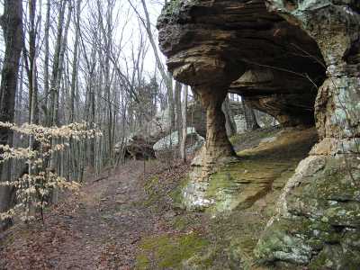
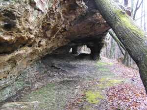
 this column arch starts the sequence
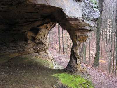
| WGS84 | |
| 36.055430 | -85.396450 |
| 36° 3.326'N | 85° 23.787'W |
| 36° 3' 19.6"N | 85° 23' 47.2"W |
| 16S 644429E 3991286N | |
| convert to NAD27 | |
MAPS
Select one of the following maps to display this waypoint (WGS84).
GPS
Remarks:
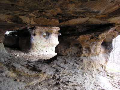
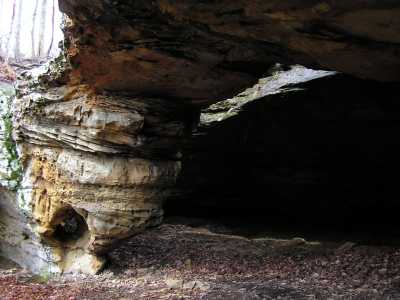
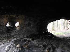
Keith Garnes found this collection of arches and windows on the top of Stone Cove. There are more than 17 rock formations -- arches and windows -- in just a few hundred feet of bluff line.
this column arch starts the sequence
Chuck Sutherland photos 1, 2, 3