Tennessee Landforms -- waterfalls| WGS84 |
| 35.133736 | -84.595820 |
| 35° 8.024'N | 84° 35.749'W |
| 35° 8' 1.4"N | 84° 35' 44.9"W |
| 16S 719050E 3890520N |
| convert to NAD27 |
Diamond Falls 8'
Waypoint: POF026 35.133736,-84.595820
County: Polk landforms of Polk county
Locale: Cherokee National Forest
popup list of
nearby landforms (mileage, bearing)
MAPS
Select one of the following maps to display this waypoint (WGS84).
GPS
Remarks:
Reference and photos: Michael Shannon
old Dutch Roth
photo and
thumbnails
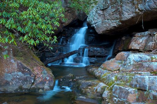 upper falls
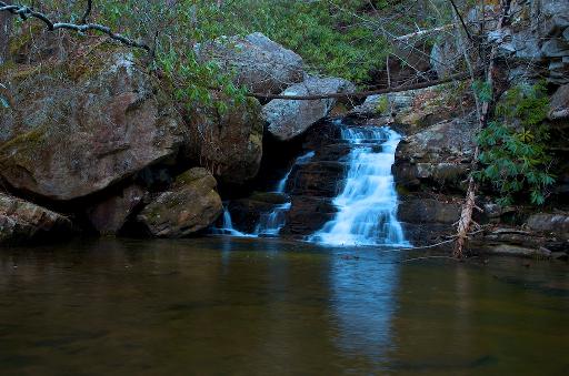 lower falls
Tennessee landforms
home
arches
waterfalls
rocks
peaks
balds
sinks
lakes
regions
county
GSMNP landforms (TN/NC)
BSF landforms (TN/KY)
or nearby
lookout towers
 ©
Tom Dunigan
©
Tom Dunigan