Tennessee Landforms -- waterfalls| WGS84 |
| 35.094600 | -84.534400 |
| 35° 5.676'N | 84° 32.064'W |
| 35° 5' 40.6"N | 84° 32' 3.8"W |
| 16S 724755E 3886315N |
| convert to NAD27 |
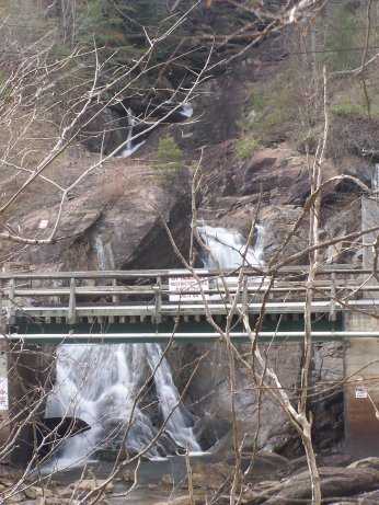
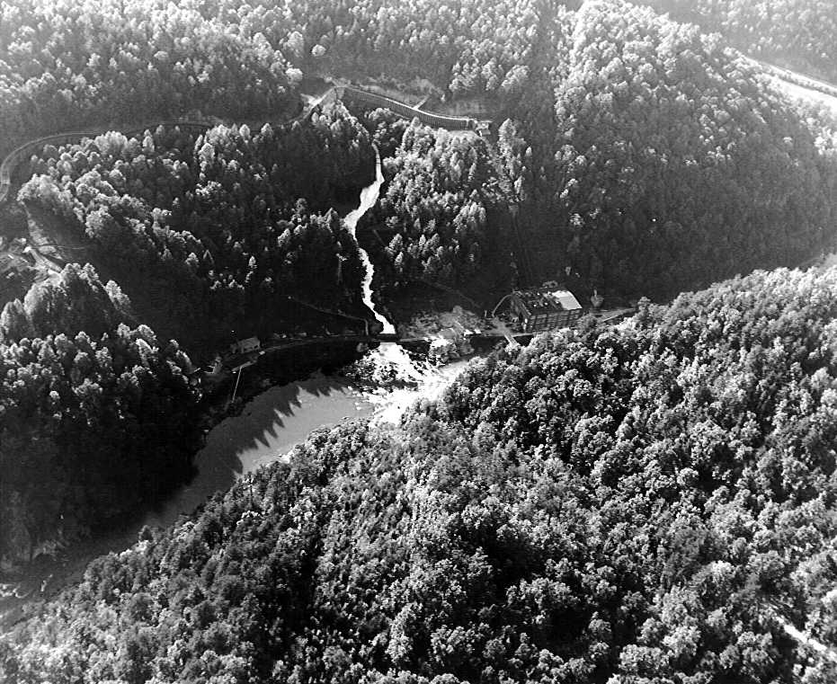
Ocoee Flume 75'
Waypoint: POF016 35.094600,-84.534400
County: Polk landforms of Polk county
Locale: private
popup list of
nearby landforms (mileage, bearing)
MAPS
Select one of the following maps to display this waypoint (WGS84).
GPS
Remarks:
Reference & photo: Robert Robbins
1950 photo
Tennessee landforms
home
arches
waterfalls
rocks
peaks
balds
sinks
lakes
regions
county
GSMNP landforms (TN/NC)
BSF landforms (TN/KY)
or nearby
lookout towers
 ©
Tom Dunigan
©
Tom Dunigan