| WGS84 | |
| 35.130000 | -84.592630 |
| 35° 7.8'N | 84° 35.558'W |
| 35° 7' 48"N | 84° 35' 33.5"W |
| 16S 719350E 3890112N | |
| convert to NAD27 | |
MAPS
Select one of the following maps to display this waypoint (WGS84).
GPS
Remarks:
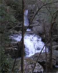
One of several falls below Benton Falls on Rock Creek.
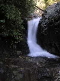
See the Dutch Roth 1938 black & white (which he calls Thornburg Ridge) and thumbnails
Hike up Scenic Spur Trail (see trail maps)