Tennessee Landforms -- waterfalls| WGS84 |
| 35.085920 | -84.514700 |
| 35° 5.155'N | 84° 30.882'W |
| 35° 5' 9.3"N | 84° 30' 52.9"W |
| 16S 726575E 3885397N |
| convert to NAD27 |
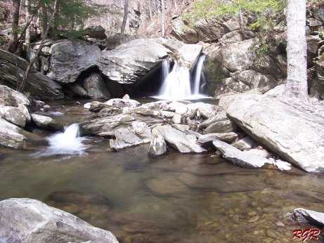
Goforth Falls
Waypoint: POF014 35.085920,-84.514700
County: Polk landforms of Polk county
Locale: Cherokee National Forest
popup list of
nearby landforms (mileage, bearing)
MAPS
Select one of the following maps to display this waypoint (WGS84).
GPS
Remarks:
whitewater
info
Robert Robbins photo
Tennessee landforms
home
arches
waterfalls
rocks
peaks
balds
sinks
lakes
regions
county
GSMNP landforms (TN/NC)
BSF landforms (TN/KY)
or nearby
lookout towers
 ©
Tom Dunigan
©
Tom Dunigan