Tennessee Landforms -- arches and natural bridges| WGS84 |
| 36.580200 | -84.782400 |
| 36° 34.812'N | 84° 46.944'W |
| 36° 34' 48.7"N | 84° 46' 56.6"W |
| 16S 698407E 4050593N |
| convert to NAD27 |
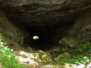
Tunnel Trail Arches 350'
Waypoint: PIA019 36.580200,-84.782400
County: Pickett landforms of Pickett county
Locale: state park
NABSQNO 16S-698407-4050593
popup list of
nearby landforms (mileage, bearing)
MAPS
Select one of the following maps to display this waypoint (WGS84).
GPS
Remarks:
Reference: Manning,"100 trails of the BSF", pg 225.
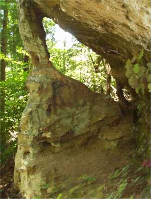
Several small arches along the bluff line
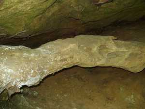
and the trail passes thru a 350' abandonded
railroad tunnel.
Tennessee landforms
home
arches
waterfalls
rocks
peaks
balds
sinks
lakes
regions
county
GSMNP landforms (TN/NC)
BSF landforms (TN/KY)
or nearby
lookout towers
 ©
Tom Dunigan
©
Tom Dunigan