Tennessee Landforms -- arches and natural bridges| WGS84 |
| 36.559770 | -84.789800 |
| 36° 33.586'N | 84° 47.388'W |
| 36° 33' 35.2"N | 84° 47' 23.3"W |
| 16S 697797E 4048311N |
| convert to NAD27 |
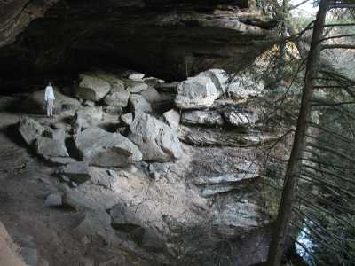
Hidden Passage 30x9
Waypoint: PIA007 36.559770,-84.789800
County: Pickett landforms of Pickett county
Locale: forest
NABSQNO 16S-697797-4048311
popup list of
nearby landforms (mileage, bearing)
MAPS
Select one of the following maps to display this waypoint (WGS84).
GPS
Remarks:
References: JNAD:TENN-11, WAD:44.17, JNAD 16, Chris Moore
Tennessee landforms
home
arches
waterfalls
rocks
peaks
balds
sinks
lakes
regions
county
GSMNP landforms (TN/NC)
BSF landforms (TN/KY)
or nearby
lookout towers
 ©
Tom Dunigan
©
Tom Dunigan