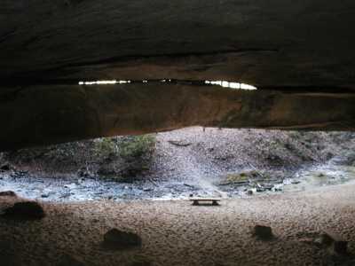
also there are some column arches (TENN-75) in rock houses past the cave.
 36.5413 -84.8035
| WGS84 | |
| 36.541506 | -84.802102 |
| 36° 32.49'N | 84° 48.126'W |
| 36° 32' 29.4"N | 84° 48' 7.6"W |
| 16S 696742E 4046259N | |
| convert to NAD27 | |
MAPS
Select one of the following maps to display this waypoint (WGS84).
GPS
Remarks:
References: JNAD:TENN-16, C/P:28, WAD:44.23
also there are some column arches (TENN-75) in rock houses past the cave.
36.5413 -84.8035