| WGS84 | |
| 36.249900 | -85.166400 |
| 36° 14.994'N | 85° 9.984'W |
| 36° 14' 59.6"N | 85° 9' 59"W |
| 16S 664744E 4013226N | |
| convert to NAD27 | |
MAPS
Select one of the following maps to display this waypoint (WGS84).
GPS
Remarks:
References: JNAD:TENN-4, C/P:23 (location error), WAD:44.9,NBT-PG60, JNAD 14, SPAN 8-4, John Burns
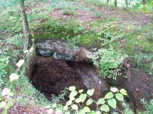
This is referred to as Laurel Cr Arch in Corgan/Parks, but
the arch is not located in that watershed. [John Burns]
Crawford arch is a little further east along the bluff line.