 courtesy Byron Jorjorian
| WGS84 | |
| 35.464400 | -87.269800 |
| 35° 27.864'N | 87° 16.188'W |
| 35° 27' 51.8"N | 87° 16' 11.3"W |
| 16S 475520E 3924579N | |
| convert to NAD27 | |
MAPS
Select one of the following maps to display this waypoint (WGS84).
GPS
Remarks:
Reference: Greg Plumb
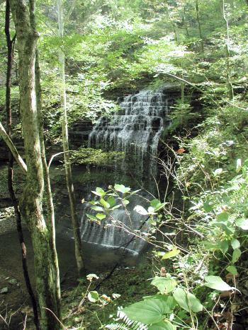
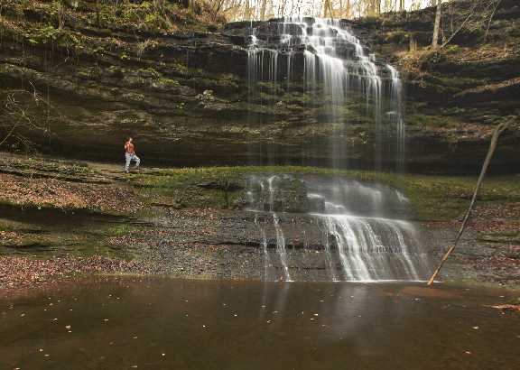
Acquired by Tennessee Parks and Greenways in 2005, also known as Cothran Falls. See TSRA article and article and June '06 article.
courtesy Byron Jorjorian