Tennessee Landforms -- waterfalls| WGS84 |
| 35.324733 | -84.081883 |
| 35° 19.484'N | 84° 4.913'W |
| 35° 19' 29"N | 84° 4' 54.8"W |
| 16S 765265E 3912964N |
| convert to NAD27 |
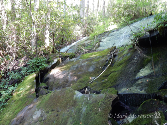
Service Tree Br Falls 25'
Waypoint: MOF058 35.324733,-84.081883
County: Monroe landforms of Monroe county
Locale: Cherokee National Forest
popup list of
nearby landforms (mileage, bearing)
MAPS
Select one of the following maps to display this waypoint (WGS84).
GPS
Remarks:
Reference and photo: Mark Morrison
Tennessee landforms
home
arches
waterfalls
rocks
peaks
balds
sinks
lakes
regions
county
GSMNP landforms (TN/NC)
BSF landforms (TN/KY)
or nearby
lookout towers
 ©
Tom Dunigan
©
Tom Dunigan