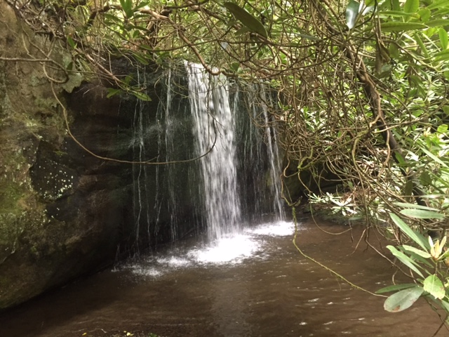
 Gretchen's photo, along Panther Branch trail (CNF 162)
| WGS84 | |
| 35.313513 | -84.138200 |
| 35° 18.811'N | 84° 8.292'W |
| 35° 18' 48.7"N | 84° 8' 17.5"W |
| 16S 760180E 3911569N | |
| convert to NAD27 | |
MAPS
Select one of the following maps to display this waypoint (WGS84).
GPS
Remarks:
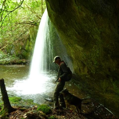
Reference and photo: Gretchen Kirkland
Gretchen's photo, along Panther Branch trail (CNF 162)