Tennessee Landforms -- waterfalls| WGS84 |
| 35.299740 | -84.230110 |
| 35° 17.984'N | 84° 13.807'W |
| 35° 17' 59"N | 84° 13' 48.4"W |
| 16S 751865E 3909804N |
| convert to NAD27 |
Tobe Creek Cascade 14'
Waypoint: MOF045 35.299740,-84.230110
County: Monroe landforms of Monroe county
Locale: Cherokee National Forest
popup list of
nearby landforms (mileage, bearing)
MAPS
Select one of the following maps to display this waypoint (WGS84).
GPS
Remarks:
Reference and photos: Joey Wilder (called it Myles Falls)
wet-weather cascade
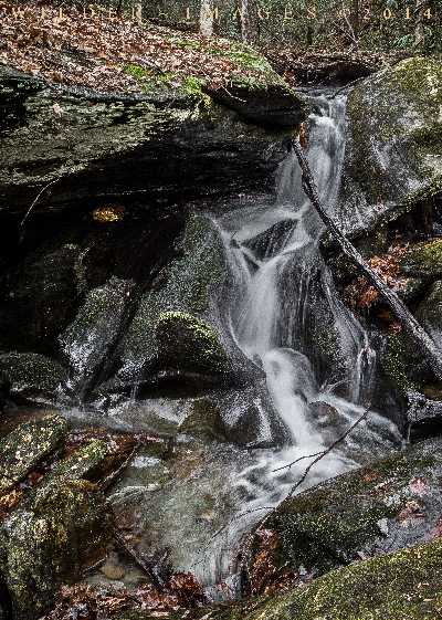 upper
upper
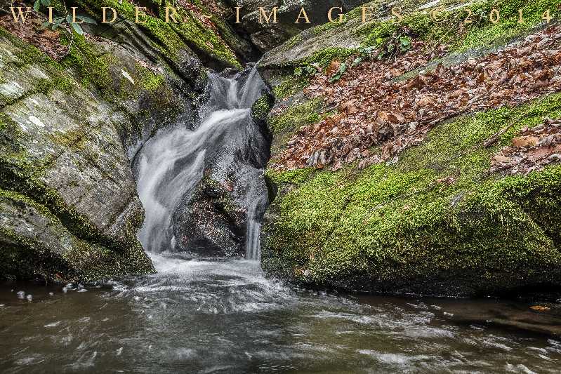 lower
lower
Tennessee landforms
home
arches
waterfalls
rocks
peaks
balds
sinks
lakes
regions
county
GSMNP landforms (TN/NC)
BSF landforms (TN/KY)
or nearby
lookout towers
 ©
Tom Dunigan
©
Tom Dunigan