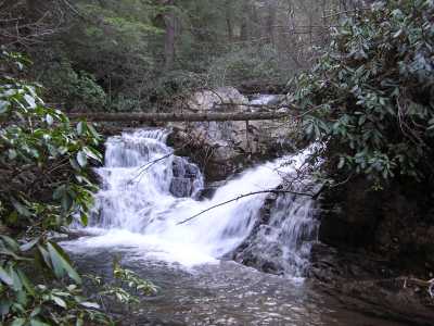
 Upper Falls (8')
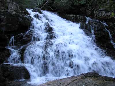 Yellow Creek Falls
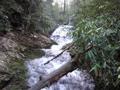 Lower Cascade
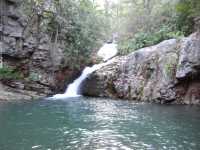 Lower Cascade pool
| WGS84 | |
| 35.295710 | -84.442120 |
| 35° 17.743'N | 84° 26.527'W |
| 35° 17' 44.6"N | 84° 26' 31.6"W |
| 16S 732594E 3908838N | |
| convert to NAD27 | |
MAPS
Select one of the following maps to display this waypoint (WGS84).
GPS
Remarks:
CNF manway, Bullet Creek Falls nearby.
Upper Falls (8')
Yellow Creek Falls
Lower Cascade
Lower Cascade pool