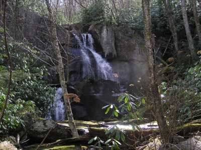
 Old Goat Falls 60'
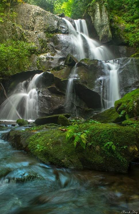 photo courtesy Mark Oleg
| WGS84 | |
| 35.382530 | -84.028300 |
| 35° 22.952'N | 84° 1.698'W |
| 35° 22' 57.1"N | 84° 1' 41.9"W |
| 16S 769945E 3919521N | |
| convert to NAD27 | |
MAPS
Select one of the following maps to display this waypoint (WGS84).
GPS
Remarks:
CNF trail 98. also see Citico Creek Wilderness and North Fork Trail
Old Goat Falls 60'
photo courtesy Mark Oleg
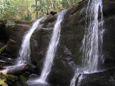 25' falls further upstream
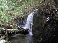 8' falls a little further upstream