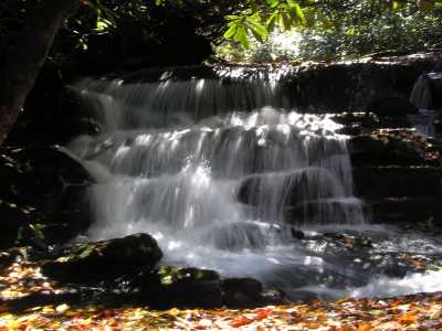
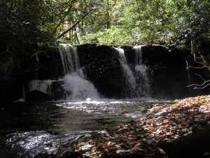
 upper falls
| WGS84 | |
| 35.364380 | -84.053630 |
| 35° 21.863'N | 84° 3.218'W |
| 35° 21' 51.8"N | 84° 3' 13.1"W |
| 16S 767703E 3917438N | |
| convert to NAD27 | |
MAPS
Select one of the following maps to display this waypoint (WGS84).
GPS
Remarks:
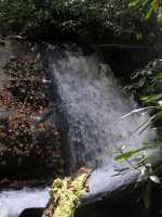
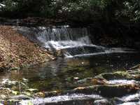
CNF trail 105 in Citico Creek Wilderness Waypoint is for upper falls, numerous 8 to 10' falls and cascades in the stretch of creek 0.5 miles downstream.
upper falls