Tennessee Landforms -- waterfalls| WGS84 |
| 35.151392 | -85.673161 |
| 35° 9.084'N | 85° 40.39'W |
| 35° 9' 5"N | 85° 40' 23.4"W |
| 16S 620857E 3890638N |
| convert to NAD27 |
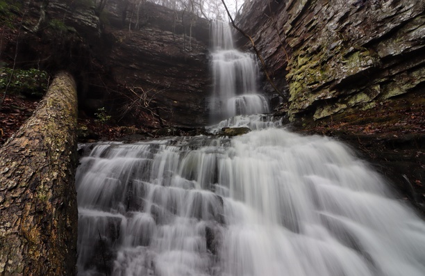
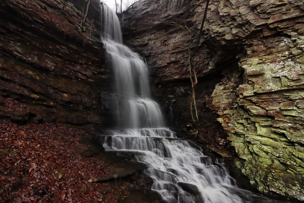
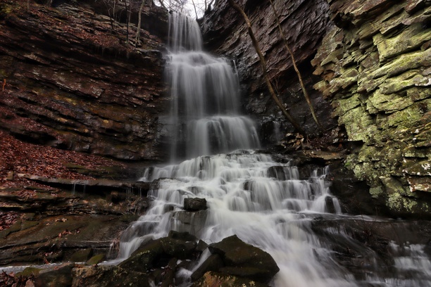
Heidi Falls 51'
Waypoint: MIF036 35.151392,-85.673161
County: Marion landforms of Marion county
popup list of
nearby landforms (mileage, bearing)
MAPS
Select one of the following maps to display this waypoint (WGS84).
GPS
Remarks:
Reference and photos: Brian Solomon
3 tiers
Tennessee landforms
home
arches
waterfalls
rocks
peaks
balds
sinks
lakes
regions
county
GSMNP landforms (TN/NC)
BSF landforms (TN/KY)
or nearby
lookout towers
 ©
Tom Dunigan
©
Tom Dunigan