Tennessee Landforms -- waterfalls| WGS84 |
| 35.228025 | -85.811756 |
| 35° 13.682'N | 85° 48.705'W |
| 35° 13' 40.9"N | 85° 48' 42.3"W |
| 16S 608130E 3898977N |
| convert to NAD27 |
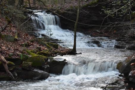
I24 Cove Br Falls 10'
Waypoint: MIF028 35.228025,-85.811756
County: Marion landforms of Marion county
popup list of
nearby landforms (mileage, bearing)
MAPS
Select one of the following maps to display this waypoint (WGS84).
GPS
Remarks:
Reference and photo: Sharon Kilzer
Tennessee landforms
home
arches
waterfalls
rocks
peaks
balds
sinks
lakes
regions
county
GSMNP landforms (TN/NC)
BSF landforms (TN/KY)
or nearby
lookout towers
 ©
Tom Dunigan
©
Tom Dunigan