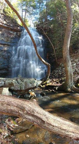
 Christopher Lewis photo
| WGS84 | |
| 35.153570 | -85.672490 |
| 35° 9.214'N | 85° 40.349'W |
| 35° 9' 12.8"N | 85° 40' 20.9"W |
| 16S 620914E 3890880N | |
| convert to NAD27 | |
MAPS
Select one of the following maps to display this waypoint (WGS84).
GPS
Remarks:
685-acre tract of land acquired in 2016, see article and more info and photo.
Christopher Lewis photo