 Photo by Gregory Plumb, Author of
Waterfalls of Tennessee
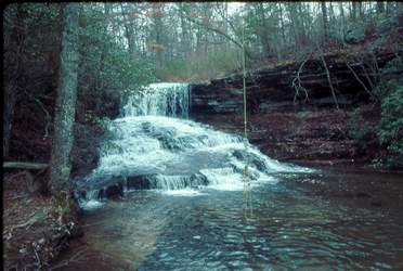
Photo by Gregory Plumb, Author of
Waterfalls of Tennessee
| WGS84 | |
| 35.163200 | -85.851400 |
| 35° 9.792'N | 85° 51.084'W |
| 35° 9' 47.5"N | 85° 51' 5"W |
| 16S 604606E 3891745N | |
| convert to NAD27 | |
MAPS
Select one of the following maps to display this waypoint (WGS84).
GPS
Remarks:
Photo by Gregory Plumb, Author of
Waterfalls of Tennessee