Tennessee Landforms -- arches and natural bridges| WGS84 |
| 35.230900 | -85.555800 |
| 35° 13.854'N | 85° 33.348'W |
| 35° 13' 51.2"N | 85° 33' 20.9"W |
| 16S 631419E 3899605N |
| convert to NAD27 |
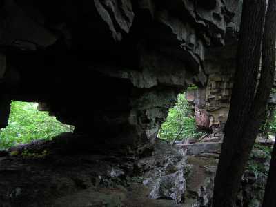
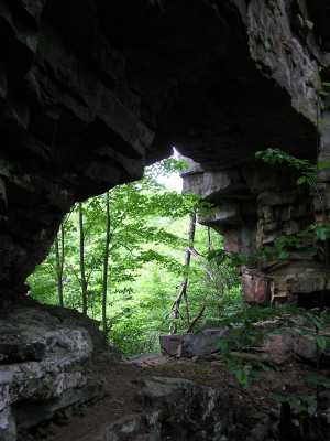
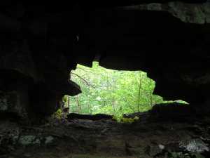
The Chimneys Arches 24x12
Waypoint: MIA002 35.230900,-85.555800
County: Marion landforms of Marion county
Locale: TNNA
NABSQNO 16S-631419-3899605
popup list of
nearby landforms (mileage, bearing)
MAPS
Select one of the following maps to display this waypoint (WGS84).
GPS
Remarks:
References: JNAD:TENN-50,Todd Fife
Two arches/windows are located at the base of the chimney wall. off-trail.
Several waterfalls downstream along Pocket Creek.
Mikes Branch Falls nearby.
Tennessee landforms
home
arches
waterfalls
rocks
peaks
balds
sinks
lakes
regions
county
GSMNP landforms (TN/NC)
BSF landforms (TN/KY)
or nearby
lookout towers
 ©
Tom Dunigan
©
Tom Dunigan