| WGS84 | |
| 36.087860 | -84.574700 |
| 36° 5.272'N | 84° 34.482'W |
| 36° 5' 16.3"N | 84° 34' 28.9"W |
| 16S 718364E 3996417N | |
| convert to NAD27 | |
MAPS
Select one of the following maps to display this waypoint (WGS84).
GPS
Remarks:
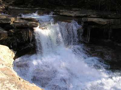
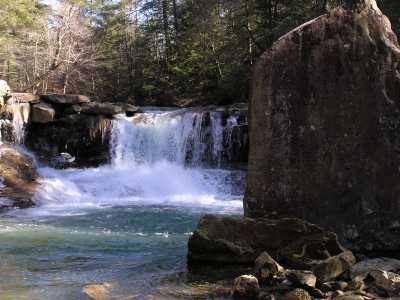
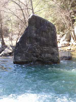
Below the falls is a 30' monolith.
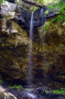
Potter's Falls is a 0.7 miles downstream.
whitewater
info
The monolith is a hunk of bed rock that was displaced from the top of the falls in a 1926 flood. The falls was the site of the LaMance homestead and mill. [Ref. Matthew LaMance] See old postcard rendering
Christopher Lewis reports a wet-weather falls downstream from LaMance
at
36.08721,-84.57601
 Daniel Jack Hutchison photo
2016 grant for $224,000 for Crooked Fork watershed restoration.