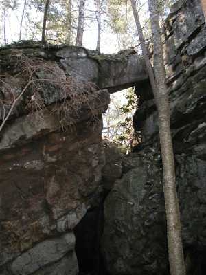
Hegler Arch
| WGS84 | |
| 36.119780 | -84.810820 |
| 36° 7.187'N | 84° 48.649'W |
| 36° 7' 11.2"N | 84° 48' 38.9"W |
| 16S 697022E 3999453N | |
| convert to NAD27 | |
MAPS
Select one of the following maps to display this waypoint (WGS84).
GPS
Remarks:
The (former) Hegler Ford road passed over this massive arch.
Hegler Arch
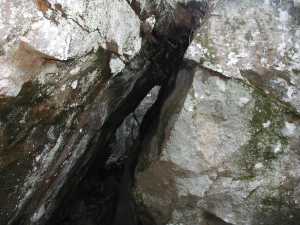
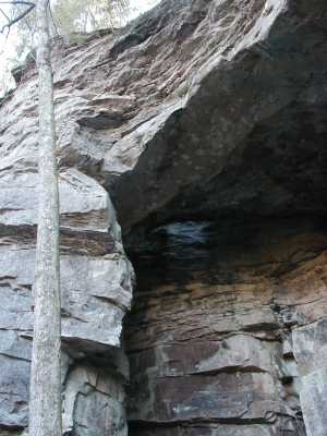
A little further north there are some gravity arches and a chimney.
This section of the creek is a popular overnight canoe trip.