Tennessee Landforms -- arches and natural bridges| WGS84 |
| 35.885180 | -84.317870 |
| 35° 53.111'N | 84° 19.072'W |
| 35° 53' 6.7"N | 84° 19' 4.3"W |
| 16S 742112E 3974536N |
| convert to NAD27 |
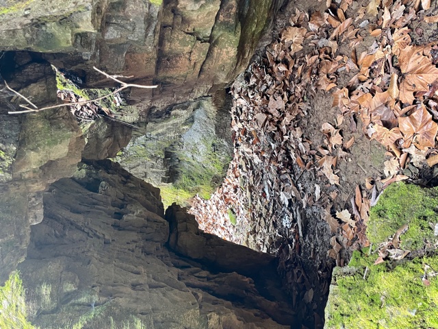
Woodlawn Arch 3x4
Waypoint: LOA001 35.885180,-84.317870
County: Loudon landforms of Loudon county
NABSQNO 16S-742112-3974536
popup list of
nearby landforms (mileage, bearing)
MAPS
Select one of the following maps to display this waypoint (WGS84).
GPS
Remarks:
Arch/cave/spring along Melton Hill Dam tailwaters.
Tennessee landforms
home
arches
waterfalls
rocks
peaks
balds
sinks
lakes
regions
county
GSMNP landforms (TN/NC)
BSF landforms (TN/KY)
or nearby
lookout towers
 ©
Tom Dunigan
©
Tom Dunigan