| WGS84 | |
| 36.312972 | -85.504868 |
| 36° 18.778'N | 85° 30.292'W |
| 36° 18' 46.7"N | 85° 30' 17.5"W |
| 16S 634223E 4019700N | |
| convert to NAD27 | |
MAPS
Select one of the following maps to display this waypoint (WGS84).
GPS
Remarks:
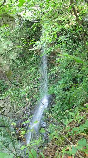
Reference and photo: Nora Beck
Local lore has it that a man named Dave either lost his footing or purposely jumped from the top of the cascade, and died on impact at the bottom of the falls; hence, the name.