Tennessee Landforms -- waterfalls| WGS84 |
| 36.422530 | -83.301230 |
| 36° 25.352'N | 83° 18.074'W |
| 36° 25' 21.1"N | 83° 18' 4.4"W |
| 17S 293691E 4033276N |
| convert to NAD27 |
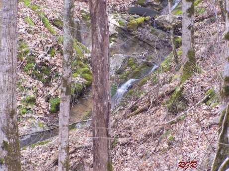
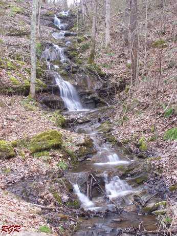
N. Union Falls(2) 15'
Waypoint: HNF002 36.422530,-83.301230
County: Hancock landforms of Hancock county
popup list of
nearby landforms (mileage, bearing)
MAPS
Select one of the following maps to display this waypoint (WGS84).
GPS
Remarks:
Reference & photos: Robert Robbins
Tennessee landforms
home
arches
waterfalls
rocks
peaks
balds
sinks
lakes
regions
county
GSMNP landforms (TN/NC)
BSF landforms (TN/KY)
or nearby
lookout towers
 ©
Tom Dunigan
©
Tom Dunigan