Tennessee Landforms -- waterfalls| WGS84 |
| 35.350863 | -85.170800 |
| 35° 21.052'N | 85° 10.248'W |
| 35° 21' 3.1"N | 85° 10' 14.9"W |
| 16S 666211E 3913489N |
| convert to NAD27 |
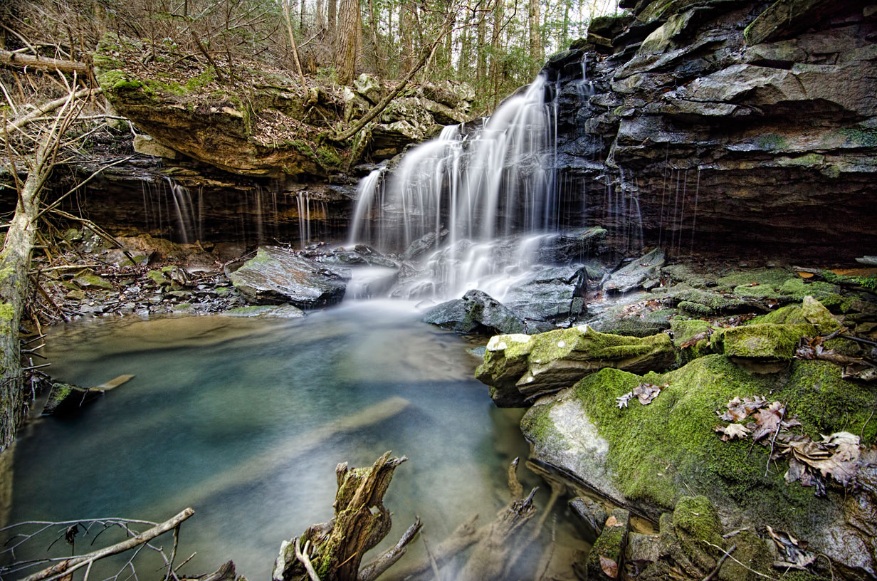
Breaker Falls 12'
Waypoint: HMF021 35.350863,-85.170800
County: Hamilton landforms of Hamilton county
Locale: Cumberland Trail
popup list of
nearby landforms (mileage, bearing)
MAPS
Select one of the following maps to display this waypoint (WGS84).
GPS
Remarks:
Reference and photo: Barry Cole
Tennessee landforms
home
arches
waterfalls
rocks
peaks
balds
sinks
lakes
regions
county
GSMNP landforms (TN/NC)
BSF landforms (TN/KY)
or nearby
lookout towers
 ©
Tom Dunigan
©
Tom Dunigan