Tennessee Landforms -- arches and natural bridges| WGS84 |
| 34.995500 | -85.349530 |
| 34° 59.73'N | 85° 20.972'W |
| 34° 59' 43.8"N | 85° 20' 58.3"W |
| 16S 650624E 3873788N |
| convert to NAD27 |
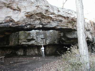
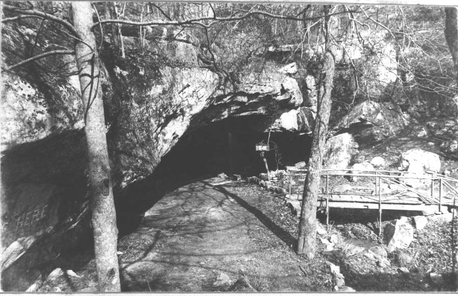
Lookout Mtn (Cleland) NB 85x14
Waypoint: HMA008 34.995500,-85.349530
County: Hamilton landforms of Hamilton county
Locale: city park
NABSQNO 16S-650624-3873788
popup list of
nearby landforms (mileage, bearing)
MAPS
Select one of the following maps to display this waypoint (WGS84).
GPS
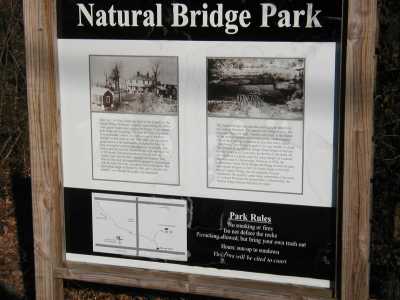
Remarks:
References: C/P:13-14, WAD:44.4, 1899 photo
Tennessee landforms
home
arches
waterfalls
rocks
peaks
balds
sinks
lakes
regions
county
GSMNP landforms (TN/NC)
BSF landforms (TN/KY)
or nearby
lookout towers
 ©
Tom Dunigan
©
Tom Dunigan