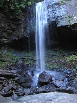
 Photo by Gregory Plumb, Author of
Waterfalls of Tennessee
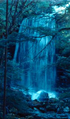
Photo by Gregory Plumb, Author of
Waterfalls of Tennessee
| WGS84 | |
| 35.410900 | -85.597400 |
| 35° 24.654'N | 85° 35.844'W |
| 35° 24' 39.2"N | 85° 35' 50.6"W |
| 16S 627351E 3919515N | |
| convert to NAD27 | |
MAPS
Select one of the following maps to display this waypoint (WGS84).
GPS
Remarks:
There are three falls. The upper falls is known as Suter Falls, there is a middle cascade, and a final 20' drop along the Collins Gulf trail.
Photo by Gregory Plumb, Author of
Waterfalls of Tennessee
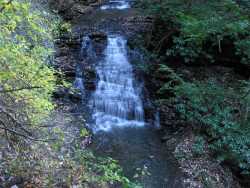 middle falls