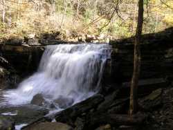
 Photo by Gregory Plumb, Author of
Waterfalls of Tennessee
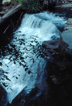
Photo by Gregory Plumb, Author of
Waterfalls of Tennessee
| WGS84 | |
| 35.429000 | -85.602200 |
| 35° 25.74'N | 85° 36.132'W |
| 35° 25' 44.4"N | 85° 36' 7.9"W |
| 16S 626886E 3921517N | |
| convert to NAD27 | |
MAPS
Select one of the following maps to display this waypoint (WGS84).
GPS
Remarks:
Along Collins Gulf trail, water disappears underground below the falls.
Photo by Gregory Plumb, Author of
Waterfalls of Tennessee