Tennessee Landforms -- waterfalls| WGS84 |
| 36.324900 | -83.621700 |
| 36° 19.494'N | 83° 37.302'W |
| 36° 19' 29.6"N | 83° 37' 18.1"W |
| 17S 264661E 4023176N |
| convert to NAD27 |
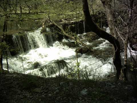
Beeler Mill Falls 12'
Waypoint: GRF018 36.324900,-83.621700
County: Grainger landforms of Grainger county
popup list of
nearby landforms (mileage, bearing)
MAPS
Select one of the following maps to display this waypoint (WGS84).
GPS
Remarks:
Reference & photo: Kevin Baker
Tennessee landforms
home
arches
waterfalls
rocks
peaks
balds
sinks
lakes
regions
county
GSMNP landforms (TN/NC)
BSF landforms (TN/KY)
or nearby
lookout towers
 ©
Tom Dunigan
©
Tom Dunigan