Tennessee Landforms -- waterfalls| WGS84 |
| 36.340130 | -83.533770 |
| 36° 20.408'N | 83° 32.026'W |
| 36° 20' 24.5"N | 83° 32' 1.6"W |
| 17S 272600E 4024656N |
| convert to NAD27 |
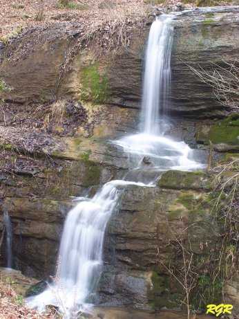
Simmons Falls 18'
Waypoint: GRF002 36.340130,-83.533770
County: Grainger landforms of Grainger county
Locale: private
popup list of
nearby landforms (mileage, bearing)
MAPS
Select one of the following maps to display this waypoint (WGS84).
GPS
Remarks:
Reference & photo: Robert Robbins
Tennessee landforms
home
arches
waterfalls
rocks
peaks
balds
sinks
lakes
regions
county
GSMNP landforms (TN/NC)
BSF landforms (TN/KY)
or nearby
lookout towers
 ©
Tom Dunigan
©
Tom Dunigan