Tennessee Landforms -- waterfalls| WGS84 |
| 35.961740 | -82.867830 |
| 35° 57.704'N | 82° 52.07'W |
| 35° 57' 42.2"N | 82° 52' 4.2"W |
| 17S 331566E 3981317N |
| convert to NAD27 |
Ricker Branch Falls (2) 15'
Waypoint: GEF021 35.961740,-82.867830
County: Greene landforms of Greene county
popup list of
nearby landforms (mileage, bearing)
MAPS
Select one of the following maps to display this waypoint (WGS84).
GPS
Remarks:
Reference and photos:Thomas Mabry
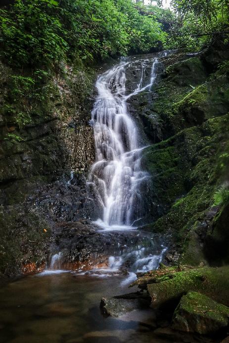 15'
15'
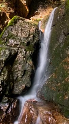 12', lower falls at 35.9619,-82.8681
Tennessee landforms
home
arches
waterfalls
rocks
peaks
balds
sinks
lakes
regions
county
GSMNP landforms (TN/NC)
BSF landforms (TN/KY)
or nearby
lookout towers
 ©
Tom Dunigan
©
Tom Dunigan