Tennessee Landforms -- waterfalls| WGS84 |
| 36.293712 | -82.779134 |
| 36° 17.623'N | 82° 46.748'W |
| 36° 17' 37.4"N | 82° 46' 44.9"W |
| 17S 340240E 4017995N |
| convert to NAD27 |
Roaring Springs Falls
Waypoint: GEF018 36.293712,-82.779134
County: Greene landforms of Greene county
Locale: private
popup list of
nearby landforms (mileage, bearing)
MAPS
Select one of the following maps to display this waypoint (WGS84).
GPS
Remarks:
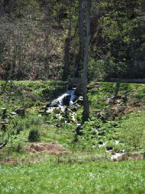 Chris Oliver photo
Tennessee landforms
home
arches
waterfalls
rocks
peaks
balds
sinks
lakes
regions
county
GSMNP landforms (TN/NC)
BSF landforms (TN/KY)
or nearby
lookout towers
 ©
Tom Dunigan
©
Tom Dunigan