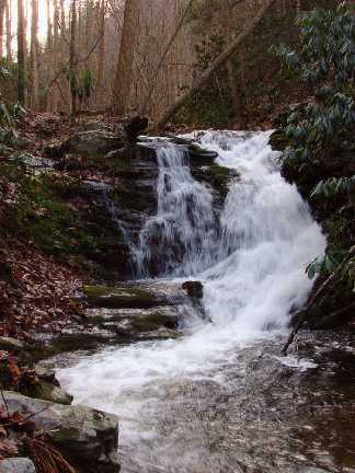
 photo courtesy of Marty Silver
| WGS84 | |
| 36.086200 | -82.634500 |
| 36° 5.172'N | 82° 38.07'W |
| 36° 5' 10.3"N | 82° 38' 4.2"W |
| 17S 352841E 3994746N | |
| convert to NAD27 | |
MAPS
Select one of the following maps to display this waypoint (WGS84).
GPS
Remarks:
CNF trail 53
photo courtesy of Marty Silver
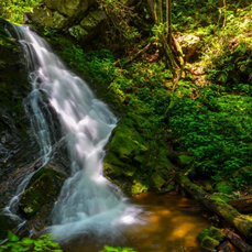 22' upper falls at
36.085470,-82.63393, Dave Aldridge photo
22' upper falls at
36.085470,-82.63393, Dave Aldridge photo