Tennessee Landforms -- arches and natural bridges| WGS84 |
| 36.094800 | -83.015300 |
| 36° 5.688'N | 83° 0.918'W |
| 36° 5' 41.3"N | 83° 0' 55.1"W |
| 17S 318572E 3996343N |
| convert to NAD27 |
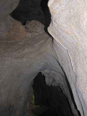
Arch Cave Arch 5x7
Waypoint: GEA002 36.094800,-83.015300
County: Greene landforms of Greene county
Locale: private
NABSQNO 17S-318572-3996343
popup list of
nearby landforms (mileage, bearing)
MAPS
Select one of the following maps to display this waypoint (WGS84).
GPS
Remarks:
Reference: USGS
Tennessee landforms
home
arches
waterfalls
rocks
peaks
balds
sinks
lakes
regions
county
GSMNP landforms (TN/NC)
BSF landforms (TN/KY)
or nearby
lookout towers
 ©
Tom Dunigan
©
Tom Dunigan