Tennessee Landforms -- arches and natural bridges| WGS84 |
| 36.053940 | -82.709240 |
| 36° 3.236'N | 82° 42.554'W |
| 36° 3' 14.2"N | 82° 42' 33.2"W |
| 17S 346048E 3991283N |
| convert to NAD27 |
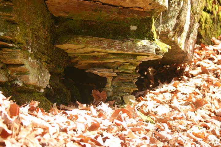
Spruce Thicket Arch 2x1
Waypoint: GEA001 36.053940,-82.709240
County: Greene landforms of Greene county
Locale: Cherokee National Forest
NABSQNO 17S-346048-3991283
popup list of
nearby landforms (mileage, bearing)
MAPS
Select one of the following maps to display this waypoint (WGS84).
GPS
Remarks:
Reference and photo: Bill Stowell
Tiny arch along Spruce Thicket trail. Insignifcant, but if you're
on the trail visiting the numerous falls, say hello to the archette.
Tennessee landforms
home
arches
waterfalls
rocks
peaks
balds
sinks
lakes
regions
county
GSMNP landforms (TN/NC)
BSF landforms (TN/KY)
or nearby
lookout towers
 ©
Tom Dunigan
©
Tom Dunigan