Tennessee Landforms -- waterfalls| WGS84 |
| 35.089110 | -86.017800 |
| 35° 5.347'N | 86° 1.068'W |
| 35° 5' 20.8"N | 86° 1' 4.1"W |
| 16S 589532E 3883366N |
| convert to NAD27 |
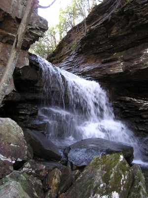
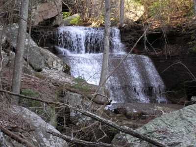
Custard Hollow Falls 25'
Waypoint: FRF014 35.089110,-86.017800
County: Franklin landforms of Franklin county
Locale: private
popup list of
nearby landforms (mileage, bearing)
MAPS
Select one of the following maps to display this waypoint (WGS84).
GPS
Remarks:
off trail. upper and lower falls
Tennessee landforms
home
arches
waterfalls
rocks
peaks
balds
sinks
lakes
regions
county
GSMNP landforms (TN/NC)
BSF landforms (TN/KY)
or nearby
lookout towers
 ©
Tom Dunigan
©
Tom Dunigan