| WGS84 | |
| 35.260800 | -85.914000 |
| 35° 15.648'N | 85° 54.84'W |
| 35° 15' 38.9"N | 85° 54' 50.4"W |
| 16S 598786E 3902506N | |
| convert to NAD27 | |
MAPS
Select one of the following maps to display this waypoint (WGS84).
GPS
Remarks:
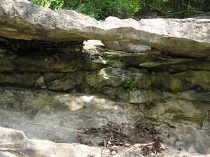
The waypoint is for a small limestone span, but there is a larger arch (2nd photo) whose location is unknown. Larger arch photograph appeared in real-estate listing for property 039 017.04 (blue blazes). Also see property on google map
location somewhere on property...