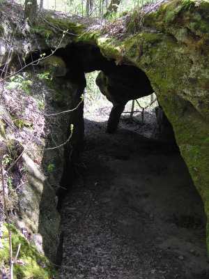
 aka, Rat Castle
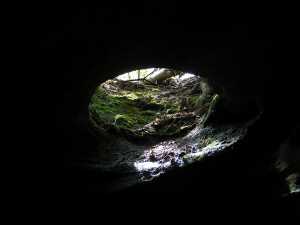 a couple of skylights as well
| WGS84 | |
| 36.380653 | -85.041977 |
| 36° 22.839'N | 85° 2.519'W |
| 36° 22' 50.3"N | 85° 2' 31.1"W |
| 16S 675630E 4027950N | |
| convert to NAD27 | |
MAPS
Select one of the following maps to display this waypoint (WGS84).
GPS
Remarks:
Nature Conservancy tract and WMA map and News Sentinel photo
aka, Rat Castle
a couple of skylights as well