Tennessee Landforms -- arches and natural bridges| WGS84 |
| 36.550200 | -84.865000 |
| 36° 33.012'N | 84° 51.9'W |
| 36° 33' 0.7"N | 84° 51' 54"W |
| 16S 691090E 4047097N |
| convert to NAD27 |
Williams Creek Arches
Waypoint: FEA041 36.550200,-84.865000
County: Fentress landforms of Fentress county
Locale: PogueCreek
NABSQNO 16S-691090-4047097
popup list of
nearby landforms (mileage, bearing)
MAPS
Select one of the following maps to display this waypoint (WGS84).
GPS
Remarks:
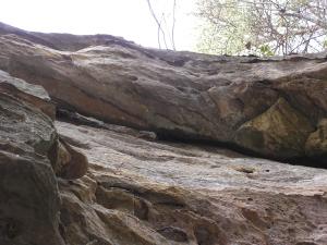
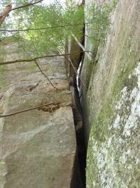
small arches and chimney, off trail
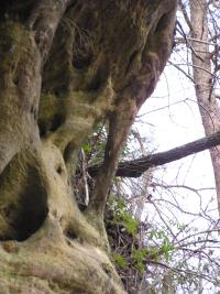
 chimney
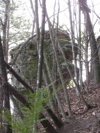
 this small span is at 36.554 -84.8608
Tennessee landforms
home
arches
waterfalls
rocks
peaks
balds
sinks
lakes
regions
county
GSMNP landforms (TN/NC)
BSF landforms (TN/KY)
or nearby
lookout towers
 ©
Tom Dunigan
©
Tom Dunigan