Tennessee Landforms -- waterfalls| WGS84 |
| 35.851670 | -84.832500 |
| 35° 51.1'N | 84° 49.95'W |
| 35° 51' 6"N | 84° 49' 57"W |
| 16S 695732E 3969666N |
| convert to NAD27 |
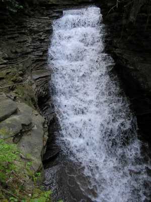
Basin Falls 45'
Waypoint: CUF001 35.851670,-84.832500
County: Cumberland landforms of Cumberland county
popup list of
nearby landforms (mileage, bearing)
MAPS
Select one of the following maps to display this waypoint (WGS84).
GPS
Remarks:
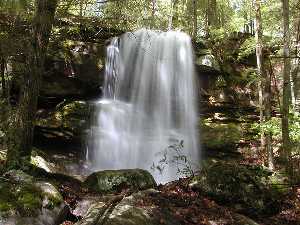
Below is Dana Koogler's photo of Sawmill Falls just
downstream at
35.85276,-84.83274.
Tennessee landforms
home
arches
waterfalls
rocks
peaks
balds
sinks
lakes
regions
county
GSMNP landforms (TN/NC)
BSF landforms (TN/KY)
or nearby
lookout towers
 ©
Tom Dunigan
©
Tom Dunigan