| WGS84 | |
| 36.232580 | -82.068260 |
| 36° 13.955'N | 82° 4.096'W |
| 36° 13' 57.3"N | 82° 4' 5.8"W |
| 17S 404002E 4010274N | |
| convert to NAD27 | |
MAPS
Select one of the following maps to display this waypoint (WGS84).
GPS
Remarks:
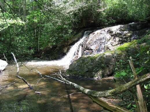
Reference and photo: Dave Aldridge
This falls is on upper Laurel Fork. Per Dave Aldrige, Campbell Falls is named after Warren Campbell, a generous man and an old "Mule Skinner" who logged the mountains upper east Tennessee.