Tennessee Landforms -- waterfalls| WGS84 |
| 36.332000 | -82.128300 |
| 36° 19.92'N | 82° 7.698'W |
| 36° 19' 55.2"N | 82° 7' 41.9"W |
| 17S 398735E 4021364N |
| convert to NAD27 |
Five Eights
Waypoint: CTF016 36.332000,-82.128300
County: Carter landforms of Carter county
Locale: lake
popup list of
nearby landforms (mileage, bearing)
MAPS
Select one of the following maps to display this waypoint (WGS84).
GPS
Remarks:
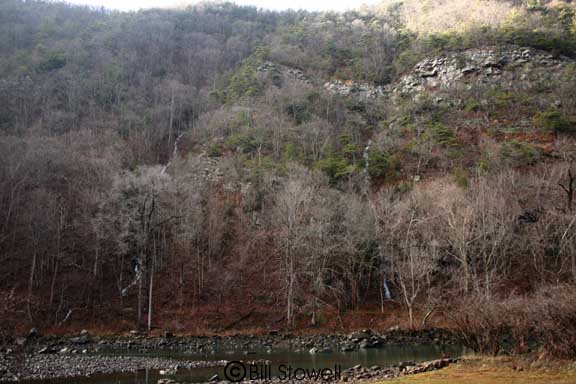
Reference & photo: Bill Stowell
Five wet-weather cascades along the west shore of Wilbur Lake.
Here are two of them.
Tennessee landforms
home
arches
waterfalls
rocks
peaks
balds
sinks
lakes
regions
county
GSMNP landforms (TN/NC)
BSF landforms (TN/KY)
or nearby
lookout towers
 ©
Tom Dunigan
©
Tom Dunigan