 photo courtesy of Marty Silver
| WGS84 | |
| 36.489700 | -81.993600 |
| 36° 29.382'N | 81° 59.616'W |
| 36° 29' 22.9"N | 81° 59' 37"W |
| 17S 411005E 4038724N | |
| convert to NAD27 | |
MAPS
Select one of the following maps to display this waypoint (WGS84).
GPS
Remarks:
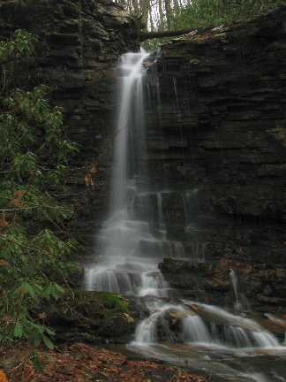
photo courtesy of Marty Silver
Bill Stowell found 4 more falls further upstream (off-trail): Second Falls 25', Justice Falls 50', Upper Justice Falls 20', Craigs Falls 40'. See Bill's photos of North Stony Creek Falls or Justice Falls or Craigs Falls