 Photo by Gregory Plumb, Author of
Waterfalls of Tennessee
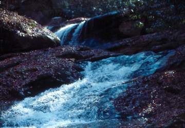
Photo by Gregory Plumb, Author of
Waterfalls of Tennessee
| WGS84 | |
| 36.216800 | -82.195800 |
| 36° 13.008'N | 82° 11.748'W |
| 36° 13' 0.5"N | 82° 11' 44.9"W |
| 17S 392519E 4008658N | |
| convert to NAD27 | |
MAPS
Select one of the following maps to display this waypoint (WGS84).
GPS
Remarks:
Photo by Gregory Plumb, Author of
Waterfalls of Tennessee