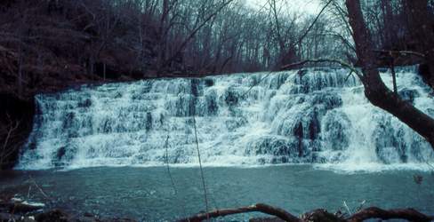
 Photo by Gregory Plumb, Author of
Waterfalls of Tennessee
Photo by Gregory Plumb, Author of
Waterfalls of Tennessee
| WGS84 | |
| 35.421940 | -86.137780 |
| 35° 25.316'N | 86° 8.267'W |
| 35° 25' 19"N | 86° 8' 16"W |
| 16S 578274E 3920178N | |
| convert to NAD27 | |
MAPS
Select one of the following maps to display this waypoint (WGS84).
GPS
Remarks:
Photo by Gregory Plumb, Author of
Waterfalls of Tennessee