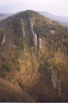
 photo from Cumberland Trail
page
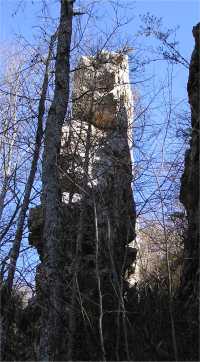
photo from Cumberland Trail
page
| WGS84 | |
| 36.329800 | -84.223200 |
| 36° 19.788'N | 84° 13.392'W |
| 36° 19' 47.3"N | 84° 13' 23.5"W |
| 16S 749250E 4024109N | |
| convert to NAD27 | |
MAPS
Select one of the following maps to display this waypoint (WGS84).
GPS
Remarks:
also known as Castle Rock, see Morgan Simmons article
photo from Cumberland Trail
page
Google map with GPS trail track and elevation profile.